What’s New
This release contains a number of new features, improvements and general bug fixes.
Upgraded engine to 4.26
Separated the camera processing passes for computing photons, electrons, & counts
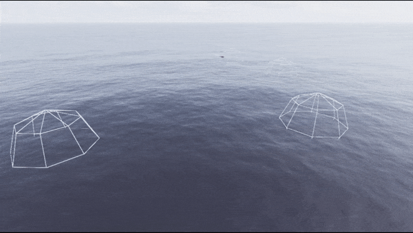
Added support for long range, narrow FOV cloud modelling
Improved LADAR model
New SpecLaserSpotLight (deprecated old SpecLaser)
Added new FITS image writer
External control improvements / updates
Unreal Engine Upgrade
The base engine version was upgraded to 4.26 which brings with it a number of significant engine improvements and bug fixes (Unreal Engine 4.26 Release Notes).
Major Features
Improved Camera Processing Pipeline
Added optional separable camera processing passes for computing photons, electrons, & counts to allow for improved verification and validation, as well as additional “ground-truth” data for modelling and analysis.

Improved Cloud Modelling
Added support for long range, narrow FOV cloud modelling, improving temporal stability for clouds, especially when viewed from high speed platforms and/or with a narrow field of view.

Improved LADAR Model
Rework of the SPAD LADAR model to simulate laser detection and ranging (LADAR) range-resolved imagery. This model may be used to predict single photon avalanche diode (SPAD) array LADAR performance and evaluate system designs prior to the development and purchase of costly equipment. This model should be considered experimental as further development is continuing on its validation.

New SpecLaserSpotLight
Added a new Spec Laser Spot Light model with a Gaussian irradiance profile. The old Spec Laser has been deprecated.

New FITS image writer
The new Spec Writer FITS outputs camera imagery to the FITS file format.


External Control Updates
Added new Java API
MATLAB API deprecated (MATLAB examples demonstrate calling Java API directly)
Added new Remote Control API allowing Unreal Engine functions & properties to be called directly
Upgraded protobuf to v3.21.6